Mapping, analysis, and decision-making with spatial data
Overview
Empower your projects with accurate spatial data and advanced mapping solutions
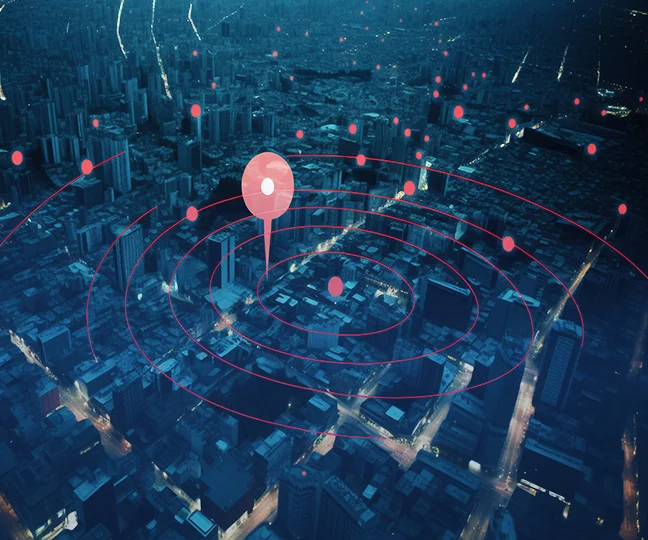
- In the field of geospatial innovation, our program arrangements offer solid support for supporting decision-making in an assortment of businesses through mapping and spatial investigation. We make apps that give profound bits of knowledge into spatial and natural information by leveraging GIS, fawning pictures, and ramble data.
- We give geospatial devices to offer assistance with catastrophe reaction, natural observing, urban arranging, and rural administration. Through the integration of real-time information sources, clients can get current data for significant decision-making forms, counting, assessing surge dangers, keeping an eye on edit wellbeing, and organizing framework improvements.
- Incorporating components like 3D modeling, location-based administrations, and spatial information visualization, we too give specialized apps that are made to meet the one of a kind needs of our clients. Since they do not require a parcel of specialized ability, these arrangements are made to be effectively utilized and open whereas advertising solid explanatory capabilities.
Empower your projects with accurate spatial data and advanced mapping solutions
Support decision-making with geospatial tools, GIS, and drone imagery
Spatial Analysis
Using GIS, satellite imaging, and drone data, provide deep insights into spatial and environmental data to help decision-making in a variety of businesses.


Disaster Response
Integrate real-time data sources for flood risk assessment, crop health monitoring, and infrastructure prioritization. Provide geospatial tools for disaster response, environmental monitoring, urban planning, and agricultural management.


Specialized Applications
Create intuitive applications with spatial data visualization, location-based services, and 3D modeling that are suited to particular customer requirements. This will encourage user friendliness and robust analytical powers.


Field Data gathering
Develop mobile and web-based tools that enable field workers to collect and evaluate data while they're on the go. This will ensure proper data integration into decision-making procedures and increase the effectiveness of data gathering.